Maryland Equine Legacy Area
Maryland Equine Legacy Area
Baltimore County, MD
The Valleys region, or “horse country,” north of Baltimore, Maryland has had an outsize impact on environmental planning in the United States. Beginning in 1964 with Ian McHarg’s and David Wallace’s “Plan for the Valleys,” the environmental and cultural conservation of this region has been recognized worldwide. At its time, McHarg’s plan was a groundbreaking example of a “Design with Nature” philosophy for smart, ecologically-based planning and development. Despite this remarkable success story, development pressure beyond the Urban Rural Development Line (URDL) continues to intensify, threatening the region and its cultural heritage on multiple levels.
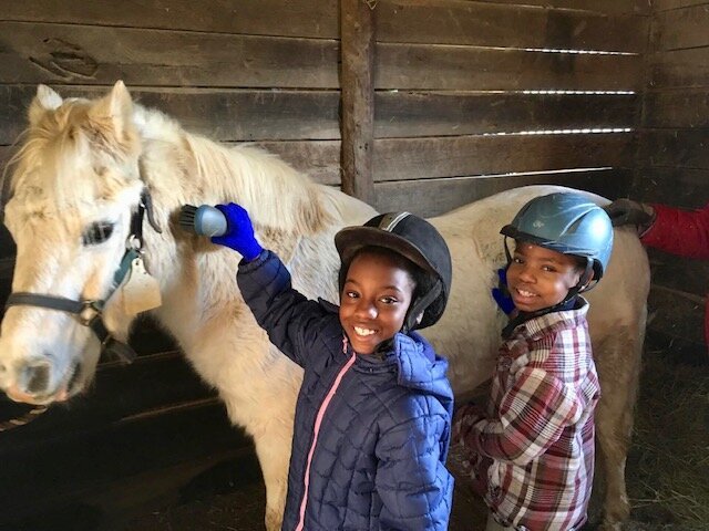
Designation of the Maryland Equine Legacy Area began as an initiative by local residents to highlight and conserve an at-risk equine cultural landscape and its longstanding equine-related traditions. In order to translate, define, and quantify the Equine Legacy Area, the Planning Team reviewed existing economic data, conducted stakeholder interviews within the local equine industry, assembled state-available equine and natural resources data to produce maps for analyses, and integrated crowd-sourced equine data (e.g. equine land, private events, agricultural uses, equine assets) from public sources such as websites and social media. The data was collected and used to conduct multiple analyses on Baltimore County’s natural amenities as related to equine landuses, which offered new perspectives on how the Baltimore region might value forests, streams, soils, and agricultural lands. With an eye towards integrating ecological, economic, and social enrichment benefits, these analyses led to a proposed designated “Equine Legacy Area” of 219-square miles across northwestern Baltimore County.
The Planning Team defined the Equine Legacy Area based on existing equine assets, locations of historic events (e.g. the steeplechase circuit), instruction (schools, private barns), public assets (The Maryland Agricultural Center), and have included the privately conserved interstitial ecosystems (stream corridors and forest patches) and infrastructure (rural roads) that connect this entire area together as one cultural-ecological landscape. Taken together, this 219-square mile region is an assemblage of centuries of community-building, land stewardship, resource conservation, and care that can continue to be a source of pride, wellness, welcome, and economic vitality for generations to come.
Project timeline: 2020 - 2021
Client: The Valleys Planning Council
Scope: Strategic and Regional Planning, Feasibility, GIS Analysis
Project Type: Culture | Rural
Size: 219 Square Miles
Special Thanks to:
The Manor Conservancy
The Manor Foundation
Maryland Horse Breeders Association
Maryland Horse Industry Board
Maryland Steeplechase Association
Thorne Gould
Turney McKnight
Charlie Noell
Joseph G. Davies
Justin A. Batoff
Liz Blue
Victoria Collins
Stiles Colwill
Amy Fenwick
Cricket Goodall
Edward A. Halle, Jr.
Richard Harris
Dr. Michael Harrison, DVM
Barbie Horneffer
Anne Litz
Meriwether Morris
Dr. Molly Muedeking, DVM
Ross Peddicord
Gina Porter
Jenny Schwartz